Castle Gardens Geophysical Survey, November 2020
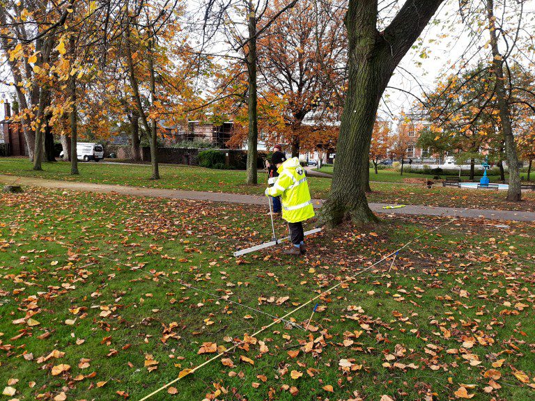 In early November 2020 archaeologists from Queen’s University Belfast conducted a geophysical survey of Castle Gardens, as part of a preliminary survey to ascertain the location of the 17th-century manor house.
What is Geophysics?
Geophysics is a form of remote sensing. And, according to Historic England:
Geophysical survey is a broad term covering the suite of detection methods used to map contrasts between the physical properties of buried archaeological remains and the surrounding soil.
Readings are collected systematically over a site using a range of different instruments to measure the magnetic, electromagnetic and moisture contrasts associated with archaeological features. The instruments most commonly used are magnetometers, earth resistance meters and Ground Penetrating Radar (GPR) systems.
Surveys can now cover very large areas quickly, for example encompassing an entire Roman town. The results can rapidly transform our knowledge of such settlements leading to improved management at a landscape scale.
Understanding of a wide range of archaeological sites is significantly enhanced through geophysical investigation and examples of monuments that can benefit include stone circles, barrows, hillforts, Roman camps and villas, industrial sites, deserted villages and historic gardens amongst others.
In the attached photo, Dr Siobahn McDermott is surveying Castle Gardens. We are excited to see the results!